In the realm of construction projects, it's a common challenge for endeavors to often run late and exceed their budget. This is not surprising given the complexities involved in managing all the different aspects of a construction project from start to finish. In this complex environment, the use of drones emerges as a crucial innovation.
Drones, with their capabilities for aerial photography, mapping, and creating 3D models, have the potential to transform how construction projects are carried out. They not only save time and resources for construction teams but also provide a wealth of detailed data that helps projects stay on schedule and within budget. For those in project management looking to incorporate drones into their construction sites, this article aims to be a foundational guide.
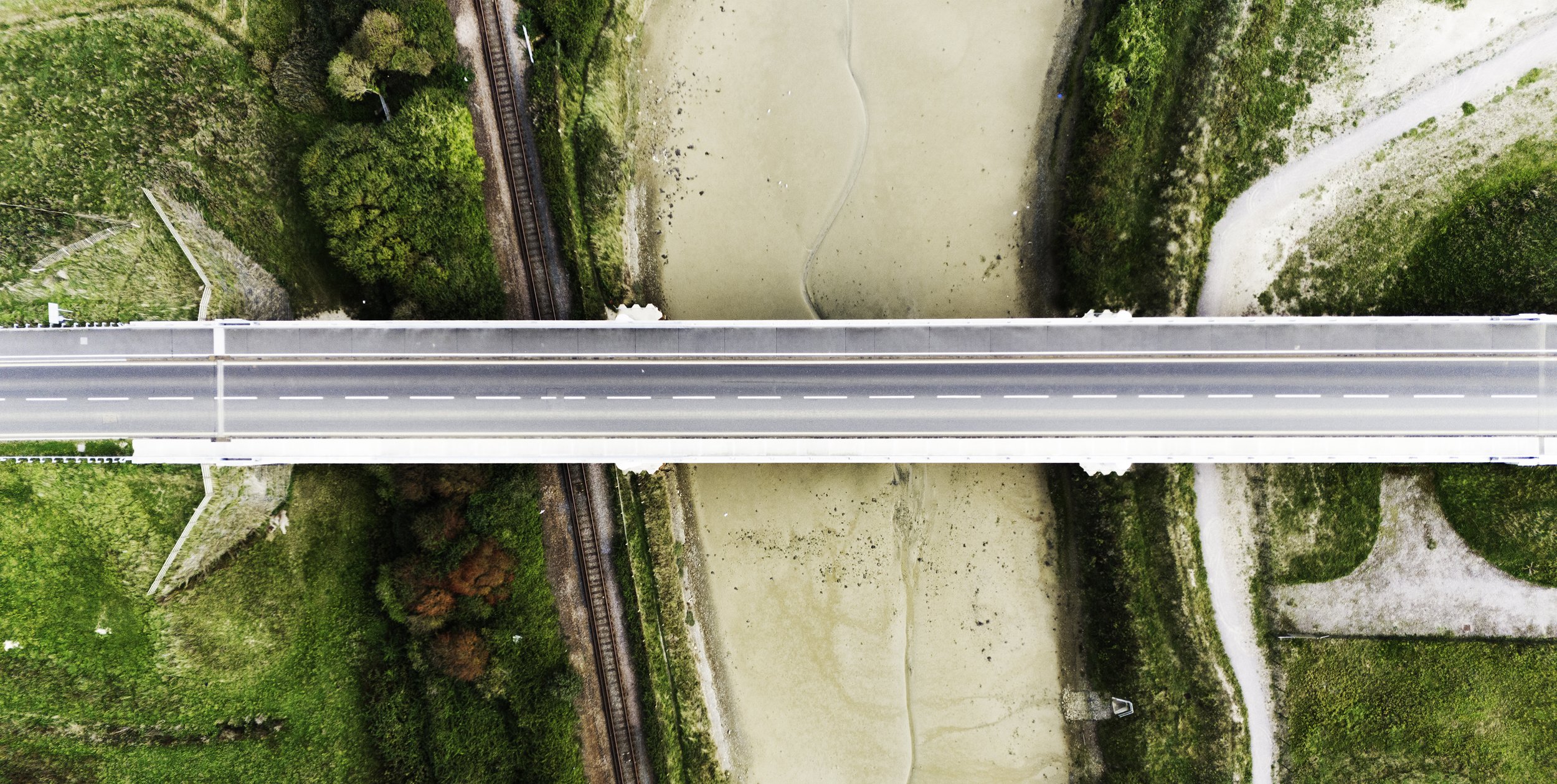
At the forefront of this technological advancement is the concept of orthomosaics, a geospatial tool that provides construction managers with highly detailed and precise views of their project sites. This panoramic perspective makes it easier to track project progress meticulously and calculate distances and costs with unprecedented accuracy. Additionally, orthomosaics are useful for creating intricate 3D models of the construction site, offering valuable insights for future projects. This data repository becomes instrumental in estimating material costs, closely monitoring project evolution, and enabling various advanced applications that go beyond traditional construction management practices.


